

Site surveys, sizing and map evidence
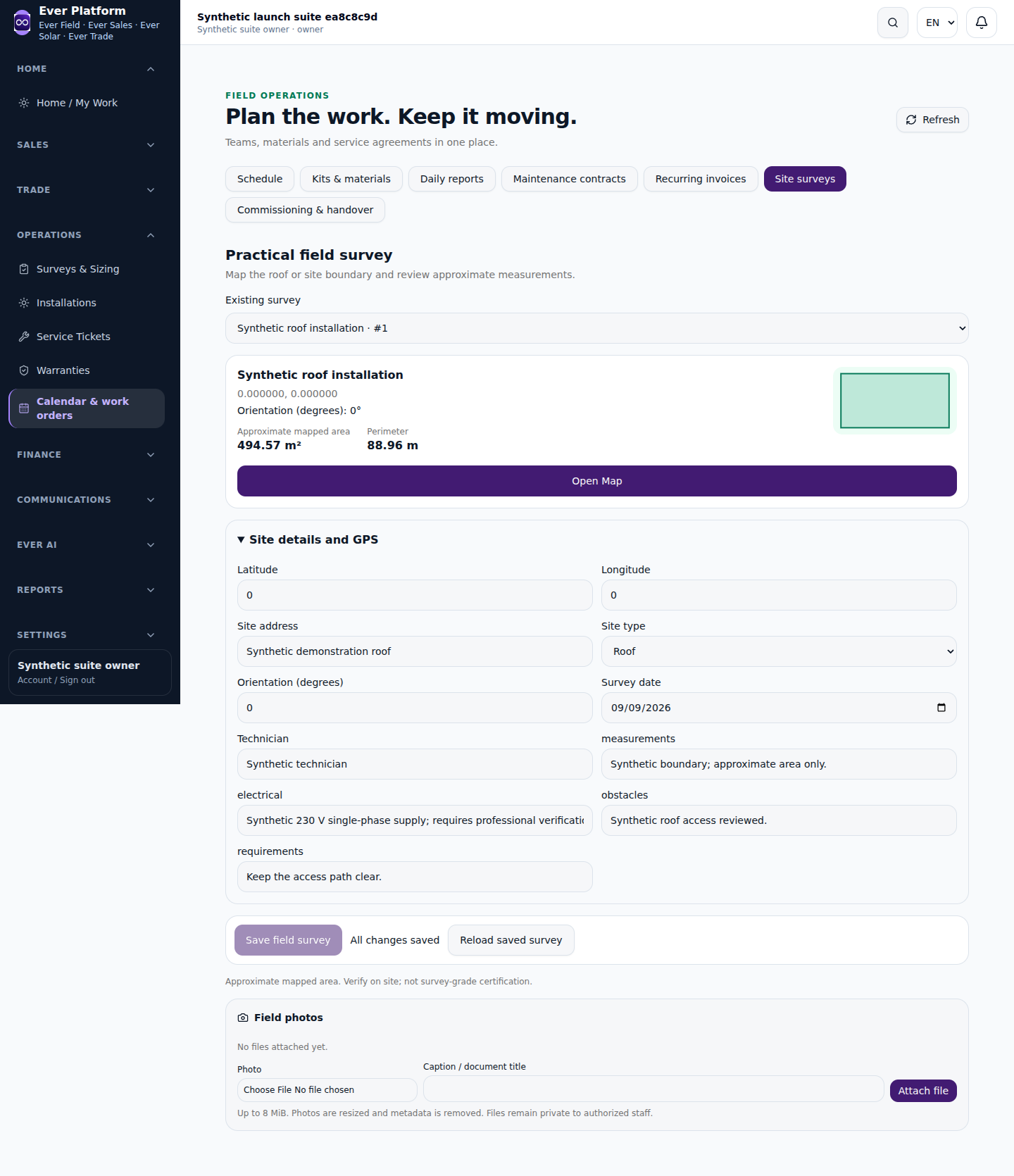
A site survey connects the opportunity with measurements, electrical requirements, photos and a location. Map boundaries and sizing outputs support a reviewable estimate; verify them against the actual site.
Follow the workflow
- Open the survey linked to the intended opportunity.
- Record address, coordinates, roof or land type, orientation, obstacles and electrical requirements.
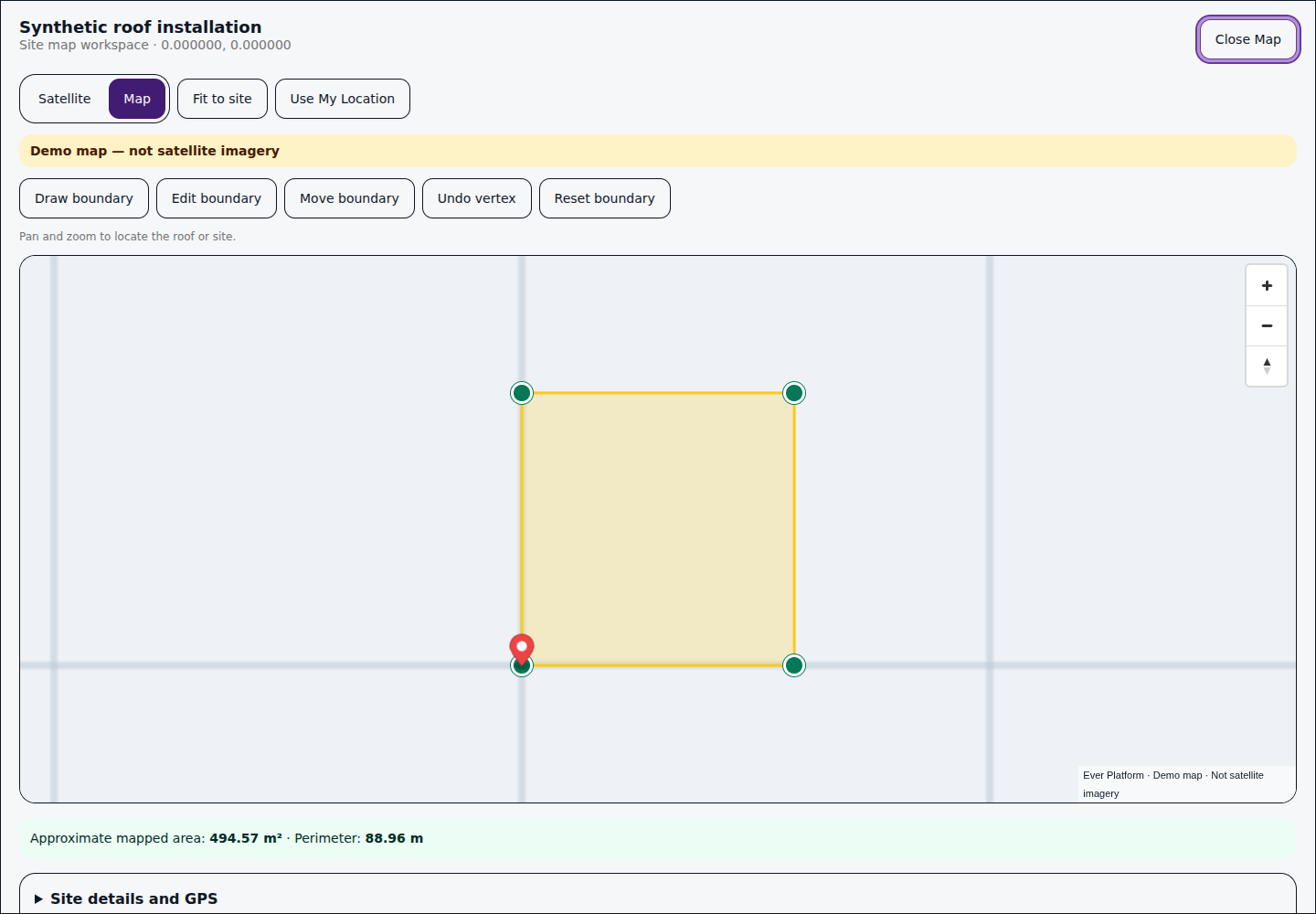
- Use the map tools to draw or correct the site boundary and inspect the resulting area.
- Enter reviewed demand and system assumptions in the sizing tool, then inspect its warnings.
- Save the survey and permitted evidence files so the delivery team can trace the assumptions.
Before you continue
Satellite imagery and external map services depend on provider availability. A map area is not a boundary survey or approved electrical design. Keep manual site measurements for review.
Review the saved site map
Keep the boundary, coordinates and site notes together so the next visit can verify the same location.
Your questions, answered
What if the coordinates are incomplete?
Enter a valid latitude and longitude together, or leave both empty until the site is verified.